Examples#
Kibi-ji Cycling: Animation and narrative box
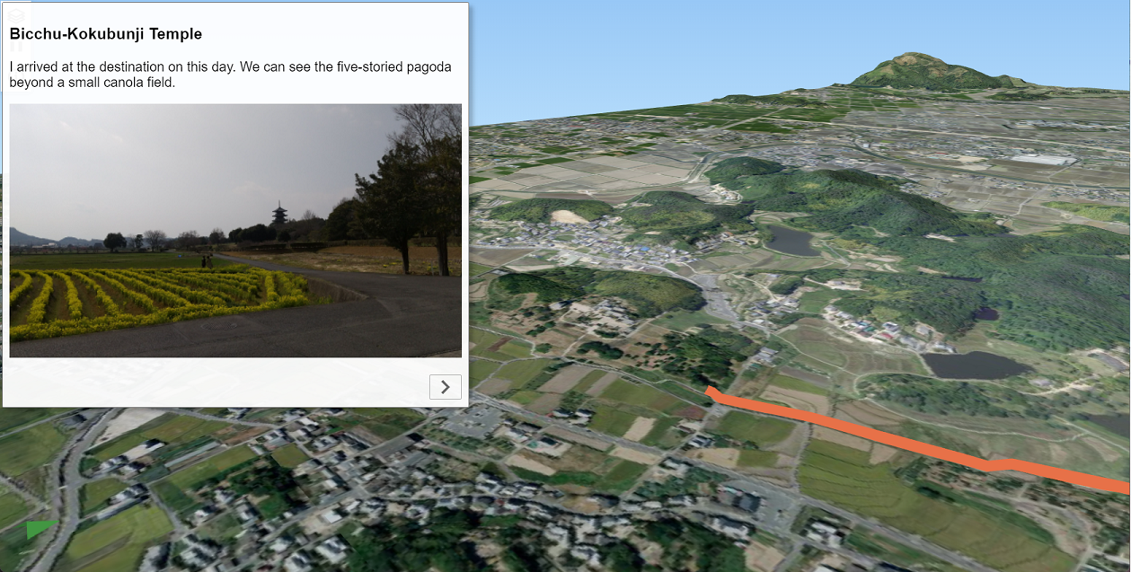
Data sources: Geospatial Information Authority of Japan. GSI Tiles (dem, ort, relief)#
Mt. Fuji: Shaded relief map made with SRTM3 data
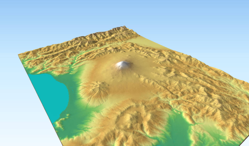
Data source: U.S. NASA and NGA. SRTM elevation data (SRTM V2.1. Filled small voids using gdal_fillnodata)#
Forest Basins: Slope map
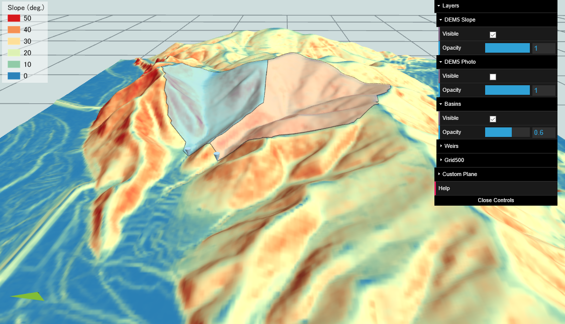
Data sources: Geospatial Information Authority of Japan. 5m DEM of Fundamental Geospatial Data and GSI Tiles (ort)#