Qgis2threejs Plugin Document
- Version:
2.8
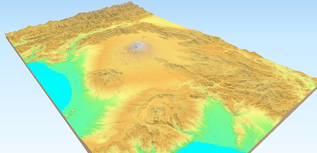
Qgis2threejs is a plugin for QGIS that provides 3D map visualization and web publishing functionality using the three.js JavaScript library. It allows you to render both DEM (digital elevation model) raster layers and vector layers (points, lines, polygons) as 3D terrain and objects inside a web browser. You can configure various object types (e.g., extruded polygons, 3D-shaped points/lines) and export the result via a simple workflow to a web-ready format. In addition to HTML/JavaScript output for interactive web maps, the plugin supports exporting the 3D model to glTF (or glb) format, enabling further use in 3D graphics applications or 3D printing pipelines.
Table Of Contents: